Bountiful-area temperatures could plunge 20 degrees by Monday, Oct. 12, as an unseasonably cold storm system collides with tropical moisture from Hurricane Rachel.
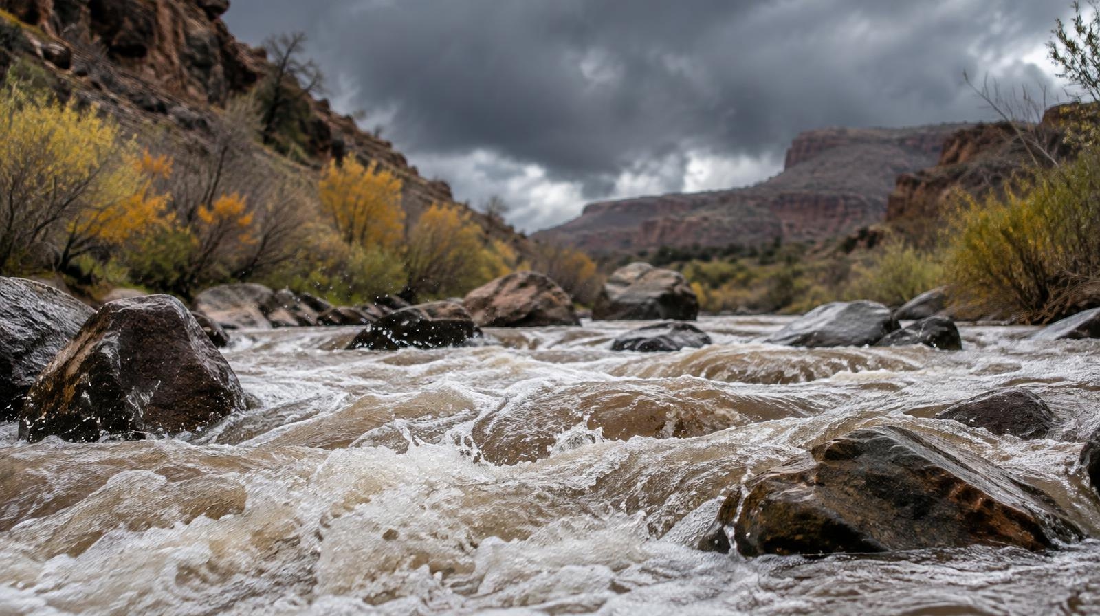
The storm is forecast to bring valley rain, mountain snow and flash flood risk to Bountiful, Woods Cross, North Salt Lake and Farmington from Sunday, Oct. 11, through Wednesday, Oct. 14. Highs that topped the low 80s on Thursday, Oct. 8, are expected to fall into the 60s early next week, according to ABC4 Utah meteorologist Cedric Haynes.
Rachel weakened from a hurricane to a tropical storm on Thursday as it moved through the East Pacific, Fox Weather reported. The National Hurricane Center forecast the storm to pass through the Southern California coastline and reach Southwest Utah by Sunday night as a tropical depression. Its moisture, combined with a cold front diving out of the Pacific Northwest, is what forecasters say will fuel days of wet weather across the state.
How much rain and snow
Mountain areas across Utah could receive three inches of precipitation or more by Wednesday night, according to KSL meteorologist Matt Johnson. Communities in northern Utah, including the Salt Lake City metro area, could see 1.5 to 2 inches or more of rain over the same period. About half to two-thirds of that total could fall by midday Monday.
Snow levels could drop to about 8,500 feet during Monday and Tuesday, according to Fox 13. Accumulation is expected at the highest peaks, though specific totals for the Wasatch mountains near Bountiful and Farmington have not been released.
Flash flood threat
A level 2 out of 4 flash flood threat covers a large area stretching from Southern California to Utah. The strongest flooding potential falls on Sunday and Monday, National Weather Service meteorologist Hayden Mahan told KSL.
"We're going to have to keep an eye on places like urban areas and even main stem rivers that could see a lot of water and potentially flash flooding issues," Mahan said.
Burn scars and slot canyons are especially vulnerable, Haynes said. The NWS Salt Lake City office had been meeting with partner agencies on Thursday about whether to issue a flood watch ahead of Rachel's arrival, according to Mahan. No flood watch covers Davis County yet.
Drought context
The rain arrives as over 75% of Utah remains in severe or extreme drought, down nearly 10 percentage points from the prior week, KSL reported. Snowpack supplies roughly 95% of the state's water. Utah's reservoirs fell from 60% capacity at the start of the 2026 water year to 47% by its end, according to KSL.
Mahan said the timing of the moisture is welcome despite the flood risk. The added rainfall can help improve soil moisture heading into winter, which boosts snowpack runoff efficiency in the spring.
What residents should do
No Davis County-specific emergency guidance had been issued as of Thursday. Residents can monitor conditions at weather.gov and sign up for Davis County emergency alerts. Forecasters urged caution near waterways and low-lying areas through midweek.