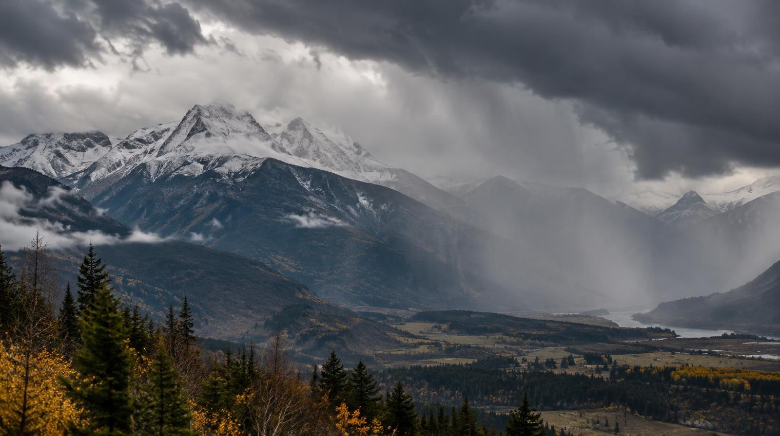
Bountiful-area residents woke Tuesday, Oct. 13, to temperatures 10 to 20 degrees below normal as the cold front tied to Tropical Storm Rachel settled over the Wasatch Front.
Highs across Davis County valleys are expected to top out in the upper 40s to low 50s, with scattered rain showers and overcast skies through the day, ABC4 meteorologist Cedric Haynes reported. Haynes wrote that conditions feel "more like late November than mid-October."
The storm already dumped more than an inch of rain on nearby Centerville, KSL reported. KSL meteorologist Devan Masciulli called it "a beneficial storm" on Oct. 12, apart from the flash flooding it caused.
The National Weather Service issued its first Winter Weather Advisory of the season for the West Uinta Mountains and Southern Wasatch Mountains, running from 6 a.m. Tuesday to 6 a.m. Wednesday. Mountains above 8,500 feet could see 4 to 6 inches of snow. Above 9,000 feet, totals could reach 8 to 14 inches.
Snow levels could drop as low as 6,500 feet Tuesday, low enough to dust Park City, though accumulation is not expected to stick below 8,000 feet. Guardsman Pass on SR-190 is closed after the storm brought down trees and rocks in Big Cottonwood Canyon. The Utah Department of Transportation (UDOT) estimates the road will reopen Thursday.
"… It was an intense storm, and it brought down a lot of trees, a lot of rocks, just everything that you see on the mountainside here," UDOT Public Relations Director John Gleason told ABC4.
The rain is not done yet. Wednesday will bring more showers and highs only in the mid to upper 50s for Wasatch Front valleys, though conditions are forecast to begin clearing through the afternoon. The National Weather Service said tropical moisture lingering across the region will keep precipitation going through Wednesday, with snow accumulations continuing across Utah mountains.
Sunny skies and temperatures in the mid to upper 60s are expected to return by Thursday and hold through the weekend.