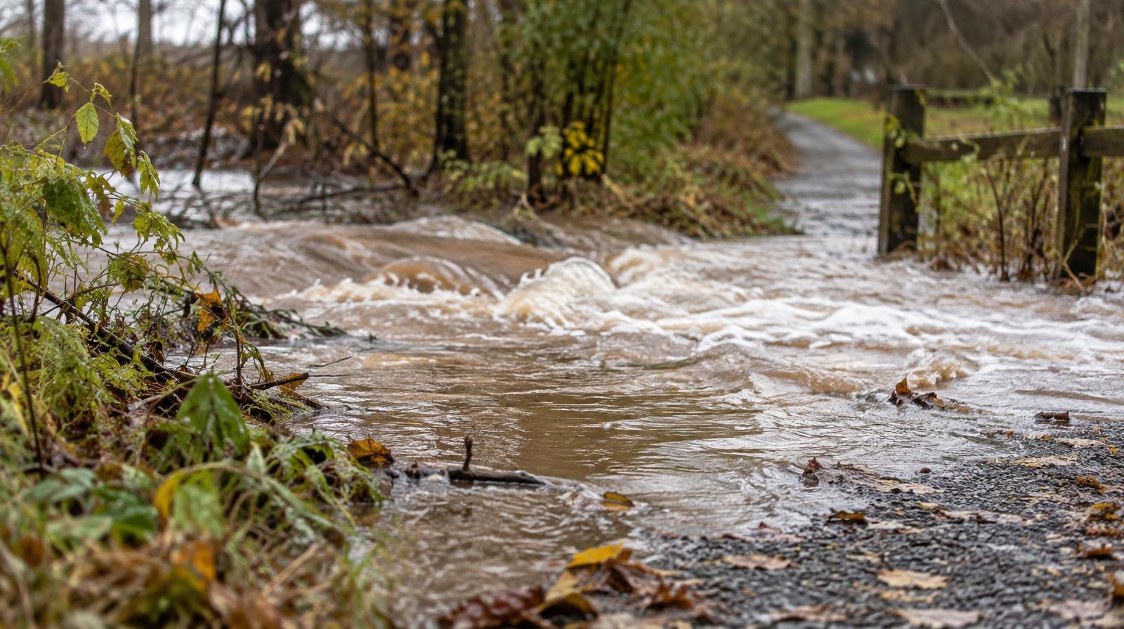
Residents in Bountiful, Woods Cross, North Salt Lake and Farmington face flash flood risks Monday, Oct. 12, as Tropical Storm Rachel's remnants push 1-2 inches of rain onto ground soaked by Saturday and Sunday storms.
A Flood Watch remains in effect until late Monday afternoon for a majority of Utah, including the I-15 corridor that runs through all four cities, ABC4 Utah reported. Higher terrain areas could see up to 3 inches.
The risk is worse because of what fell Saturday and Sunday. The Flood Watch took effect Sunday, Oct. 11, as Rachel marched into Utah. ABC4 meteorologist Noah Price called it on Sunday "a prolonged rainfall event" driven by "a significant amount of tropical moisture."
Rain on Saturday, Oct. 10, and Sunday, Oct. 11, already caused problems across the state. Flooding and debris forced traffic to turn around at the mouth of Big Cottonwood Canyon on Sunday, though access reopened by Monday morning, Fox 13 reported. In Carbon County, the sheriff's office reported road damage on Nine Mile Road from Sunday's flooding, with crews working to repair it.
What to watch Monday
The National Weather Service flagged a 15% risk of flash flooding within 25 miles of the I-15 corridor, stretching from St. George to Cache Valley. That zone covers Bountiful, Woods Cross, North Salt Lake and Farmington.
Slot canyons, streams and burn scar regions face the greatest risk of excessive runoff from debris flow, according to ABC4 meteorologist Cedric Haynes. ABC4's Sunday report identified the Cottonwood and Widemouth 2 burn scars as the areas of highest concern.
"Expect flash flooding of slot canyons, streams, and burn scar regions which could see excessive runoff from debris flow," Haynes said.
Winds will gust 25-35 mph from the southwest. Highs will stay below average, reaching only the 60s at lower elevations and 50s in some spots.
What comes next
A cold front sweeping through Monday night into Tuesday night will drop temperatures 15-20 degrees below average by Tuesday, Oct. 13, and Wednesday, Oct. 14. The flood risk is not over. Rain showers and a few thunderstorms will continue Tuesday, though the flash flood risk drops to 5% for the Wasatch Front.
Snow levels are forecast to fall to around 8,000 feet by Tuesday and as low as 6,500 feet by Wednesday morning. Overnight lows will dip into the upper 30s along the Wasatch Front.
High pressure is expected to build by the end of the week, bringing drier conditions and highs in the upper 60s and low 70s for northern Utah.
No statements from Bountiful, Woods Cross, North Salt Lake or Farmington emergency officials were available as of publication. Residents can monitor conditions through the National Weather Service Salt Lake City office and local police department social media channels.