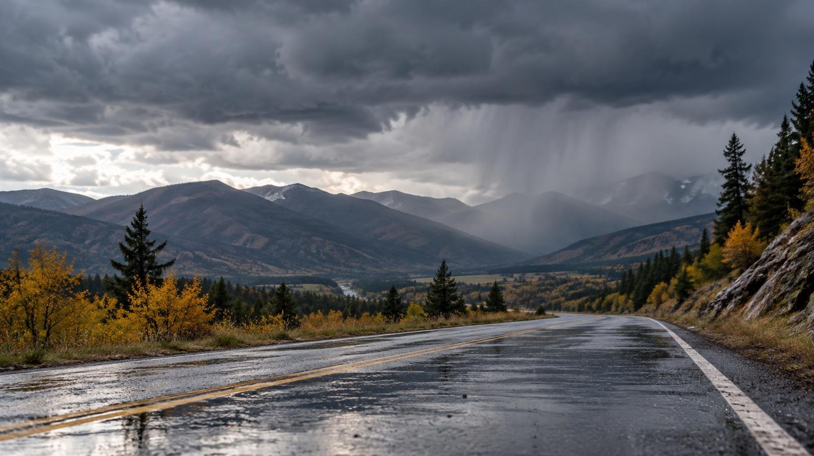
Rain and thunderstorms will reach the Bountiful and Farmington area Thursday, Oct. 22, as a large storm system crosses Utah.
The weather marks a step up from the scattered showers expected along the Wasatch Front on Wednesday evening, Oct. 21. The National Weather Service Salt Lake City office said showers and thunderstorms will spread into northern Utah during Thursday afternoon and evening as a low-pressure system moves inland from the California coast. Winds will turn gusty out of the south.
Daytime highs along the Wasatch Front are expected in the 60s and 70s on Thursday before dropping to the mid-50s Friday, Oct. 23.
The severe weather risk is concentrated farther south. The Storm Prediction Center (SPC) placed portions of southern and western Utah under a marginal risk (level 1 of 5) for severe thunderstorms Thursday, with isolated large hail and damaging wind gusts possible. On Wednesday, the SPC had already designated parts of far southern Utah at a slight risk (level 2 of 5), where ABC4 meteorologist Alana Brophy reported wind gusts could reach 70 mph and isolated tornadoes were possible.
The NWS forecast discussion said strong wind shear will support organized storms wherever instability develops through Thursday evening, especially across southern and western Utah. A 2% chance of a tornado exists in the southern part of the state.
Flooding remains the most widespread concern across Utah. A flood watch stays in effect for portions of central and southern Utah through late Thursday evening. Areas under the watch could receive 2 to 3 inches of rainfall, according to ABC4.
Soils are already saturated after remnants of Tropical Storm Rachel pushed Utah's mountain soil moisture to record-high levels for mid-October, KSL reported.
KSL meteorologist Matt Johnson said the low-pressure system will slowly move inland, generating storms ahead of its arrival. Scattered showers are more likely to reach the Wasatch Front by Thursday night, with the storm expected to split over Utah.
"We can't hang our hat on this, but it is giving us an indication of what's possible: 1 to 2 inches for a lot of locations," Johnson said of rainfall model projections.
Wasatch Front communities could collect up to an inch of rain or more by early Saturday, Oct. 24, with higher totals near 2 inches possible in the mountains, according to KSL weather models. Snow levels will drop from about 11,000 feet Thursday to 8,000 feet Friday as cooler air arrives. The NWS expects 1 to 4 inches of snow above 9,000 feet across northern Utah mountains.
The storm system is expected to exit by Saturday afternoon, clearing the way for a dry weekend with highs in the 50s across northern Utah.